Sorry, it has been a long long time since I wrote the last blog entry… In the past few months, I was extremely busy with a lot of time-consuming affairs, and it seems that such a trend is not to change in near future.
A week ago, Ye Li wrote me an email, telling me his interests in my package animation. And his idea was to implement animations in spatio-temporal models to illustrate certain changes of patterns over time / space (say, clustering). Well, this sounds easy for me to create animations, however, I should know theories behind spatial statistics first of all – that’s much more difficult than the animation techniques and requires more efforts in study.
Here is a simple demonstration using the map of USA:
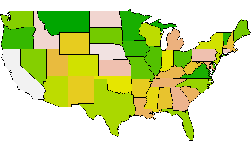
I just used the function saveMovie() in the animation package:
library(animation)
library(maps)
saveGIF({
  for (i in 1:20)
    map("state", col = sample(terrain.colors(30)), fill = TRUE)
}, ani.height = 300, ani.width = 500, outdir = getwd())
Easy enough, huh?